
More than 46,000 people lose their lives in traffic accidents in the United States each year.
Fatality statistics are one way of measuring a highway’s perils. Another gauge is the fear factor, tallied in tight, hairpin turns, blinding fog that stretches for miles or icy, subzero-degree roads raked by winds powerful enough to drive an 18-wheeler into the ditch.
However you calculate it, the following highways are among the scariest and most dangerous roads in the United States.
Interstate 95
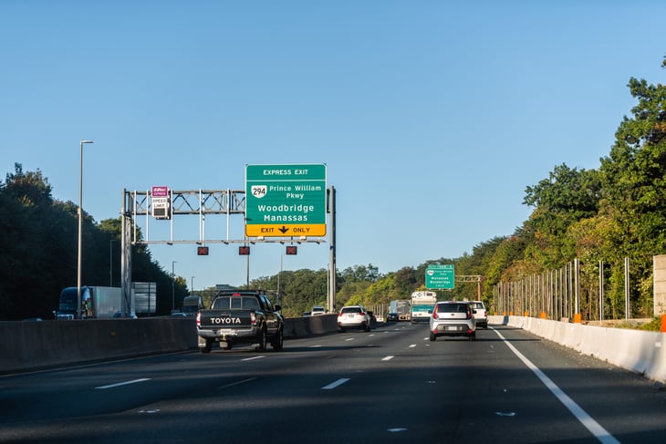
Where it’s located: I-95 stretches 1,917 miles along the East Coast, from Maine to Florida. A majority of those miles (1,040) run through urban areas.
Why it’s dangerous: A recent analysis of National Highway Traffic Safety Administration data by The Zebra calls this stretch of road “the most deadly” in the country due to the number of fatalities.
There were 284 fatalities on this interstate in 2019, according to NHTSA data analyzed by The Zebra — about 15 fatalities per 100 miles per year.
The South Florida Sun Sentinel gives a glimpse of what drivers might encounter on this busy, busy road:
“Besides constant accidents, the highway has been plagued with construction that seems never to end, lanes that are not clearly marked, minimal police presence and newly arrived motorists not familiar with South Florida driving patterns.”
Interstate 20
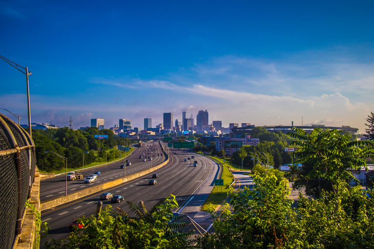
Where it’s located: I-20 crosses five states in an east-west traverse between West Texas and South Carolina. The highway intersects several high-traffic cities, including Dallas; Shreveport, Louisiana; Jackson, Mississippi; Birmingham, Alabama; Atlanta; and Columbia, South Carolina.
Why it’s dangerous: The Zebra, in its analysis of NHTSA traffic fatalities data, finds that I-20 had 208 fatalities in 2019. That’s 13.52 traffic deaths per 100 miles, second only to I-95.
Driving I-20 can be chaotic. A Texas TV station described this scene a week before Christmas 2022:
“DPS Sgt. Adam Albritton said two wrecks occurred on the interstate. First, an 18-wheeler flipped over, and six other vehicles crashed around it, shutting down both eastbound lanes of I-20. Behind that, a secondary wreck happened in the traffic. Two 18-wheelers, a pickup pulling a trailer, and a passenger vehicle all collided when approaching the stopped traffic.”
Dalton Highway
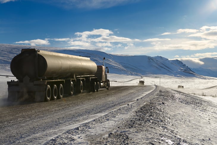
Where it’s located: This Alaska highway spans 414 miles between Livengood, north of Fairbanks, and Deadhorse, about 250 miles above the Arctic Circle.
Why it’s dangerous: The Dalton Highway crosses the Brooks Mountain Range at 4,700-foot-elevation Atigun Pass and has other steep grades. Cold-season dangers include blizzards, poor visibility, avalanches and high winds, leaving drivers stranded in temperatures as low as 60 degrees below zero. Other risks: flash floods, wildfires, mud and potholes.
Formerly called the North Slope Haul Road, the highway is “one of the northernmost roads in the world,” according to Alaska’s Department of Transportation.
It was made to support and supply the construction of the state’s Trans-Alaska Pipeline and North Slope oil fields. Not until 1994 was it opened for public use. The Dalton Highway still is mostly unpaved gravel.
The road was featured in the TV series “Ice Road Truckers.”
Lake Pontchartrain Causeway
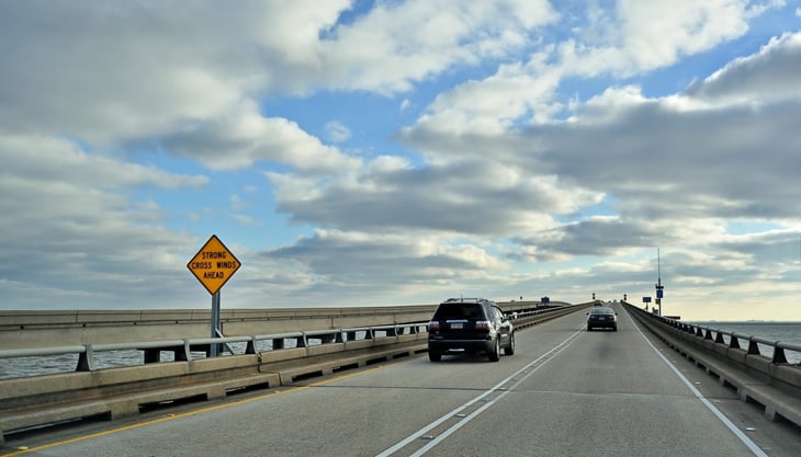
Where it’s located: The 24-mile-long Lake Pontchartrain Causeway is a set of parallel bridges connecting Metairie (near New Orleans) with Mandeville, Louisiana. The causeway holds the Guinness World Record for the longest continuous bridge over water.
Why it’s dangerous: Driving for mile after mile after mile with only open water on either side of you can be uniquely daunting. “The causeway can become enveloped in fog so thick that police have to usher drivers across the lake,” says a recent article in AAA Today magazine.
Driving in heavy fog can be a frightening and confusing experience. Not only can you not see where you are going, other drivers can’t see you either, points out insurer State Farm.
The Tail of the Dragon

Where it’s located: U.S. Route 129 is a federal highway that winds for 11 miles along and across the Tennessee-North Carolina border. Tucked among the Great Smoky Mountains, the road has no intersecting roads or driveways.
Why it’s dangerous: This relatively short stretch of road contains 318 tight, winding curves, according to NBC Sports.
The average number of deaths on The Tail of the Dragon is about 1.5 per year, reports TailoftheDragon.com, which promotes tourism in that region.
Other roads have worse fatality records, but driving these hairpin turns requires all your attention and, to make things more exciting, you may encounter a motorcycle rally on this popular route. The Tail “has been part of racing lore since its inception, with gorgeous terrain and exhilarating hairpin turns that lure drivers and motorcycle riders every season,” NBC Sports says.
The road is not closed during these events. TailoftheDragon.com says:
“The Tail of the Dragon is US 129, a US Highway which is always open to anyone unless there is an accident or some danger which requires closing of the road.”
Interstate 80
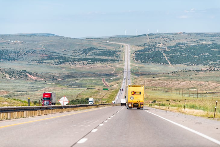
Where it’s located: I-80 runs between San Francisco, California, and Teaneck, New Jersey.
Why it’s dangerous: The Zebra’s ranking of roads and their fatality records places I-80 at No. 9 among the worst 10. Adds Moneywise, looking at the same highway data: “The combination of high speed limits, high semi-truck traffic and high winds in certain areas help make I-80 an especially dangerous road.”
I-80 runs the breadth of the continental United States, spanning 2,900 miles. It saw 7.21 fatalities per 100 miles — a total of 209 deaths — in 2019.
Interstate 75
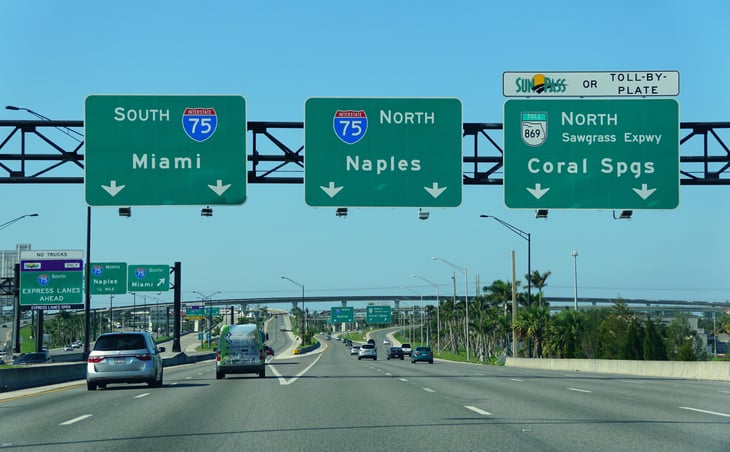
Where it’s located: I-75 drops from Michigan’s border with Canada nearly to the southern tip of Florida.
Why it’s dangerous: The highway runs through the dangerous, big-city traffic of Detroit; Cincinnati, Ohio; Atlanta; Tampa, Florida; and, finally, Miami. The Michigan section of 1-75 can have perilous snow and ice in winter. There’s dangerous traffic in the Florida cities of Fort Myers, Sarasota and particularly in Tampa, The Zebra notes.
I-75 saw 237 fatalities in 2019, for an average of 13.27 per 100 miles. The Zebra names it the fourth most-dangerous road in the country.
Interstate 5
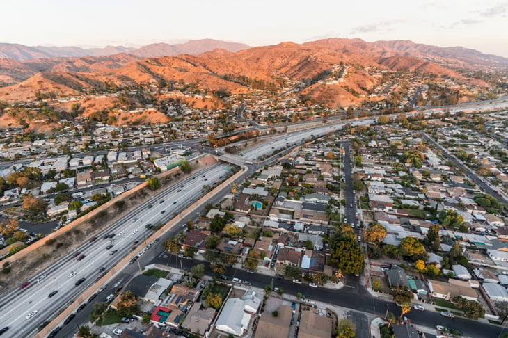
Where it’s located: I-5 is a long, straight shot down the West Coast, beginning at the U.S.-Canada border at Blaine, Washington, in the north and ending at the Mexico border town of San Ysidro, California.
Why it’s dangerous: Big-city traffic is inherently dangerous, and I-5 swings near or into the metro areas of three large California cities: Los Angeles, Sacramento and San Diego. It also traverses mountain passes, including the narrow Grapevine Canyon and the 4,310-foot-high Siskiyou Pass at the Oregon-California border, which is especially treacherous in winter.
I-5 is the main north-south interstate on the West Coast, making it a popular route for 18-wheelers and thus more dangerous for smaller vehicles, The Zebra says.
